
A Courtembos
- Location: Solre-sur-Sambre (Erquelinnes)
- River: La Thure
- Rock type: limestone
- routes:
- Equipement:
Important!
Most recent repetitions
- 24-07-08 - Voie 1 (5b) - Staesses
- 24-02-08 - Voie 2 (6a) - wies
- 24-02-08 - Voie 3 (6b) - wies
- 20-02-08 - Voie 3 (6b) - climbaholic
- 20-02-08 - Voie 2 (6a) - climbaholic
Topos, publications, sources
Other climbing possibilities in the area
-
Four à Chaux
Montignies-St-Christophe
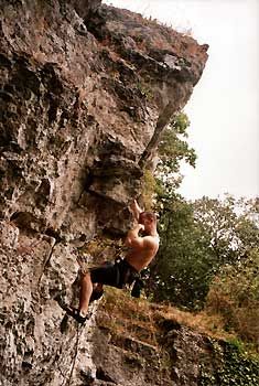
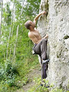
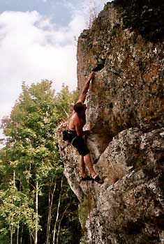
Photos
All routes
Discover every route available on this crag by clicking on the link below.
Sectors
Details
7 routes/pitches/variations
found in the Belclimb database
Sport climbing routes
Boulders
Aid climbing routes
Coordinates
NGI topographical map: 52/1-2Lambert coordinates: X 134.890 Y 109.000
UTM (ED50): 31U 582485E 5571970N
WGS84: 4.15668°E 50.29222°N