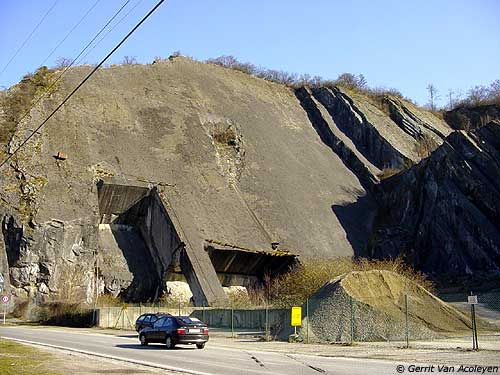
Dalle et Rochers de Tailfer
- Location: Lustin (Profondeville)
- River: Haute Meuse
- Rock type: limestone
- routes:
- Equipement:
All routes
Discover every route available on this crag by clicking on the link below.
Details
0 routes/pitches/variations
found in the Belclimb database
Sport climbing routes
Boulders
Aid climbing routes
Coordinates
NGI topographical map:Lambert coordinates: X 186.490 Y 119.810
UTM (ED50): 31U 633818E 5583537N
WGS84: 4.88111°E 50.38679°N