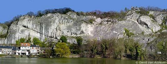
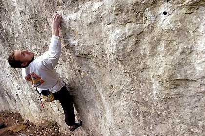
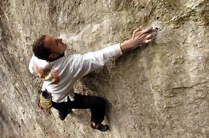
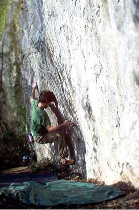
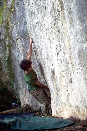
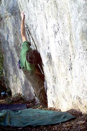
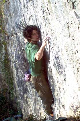
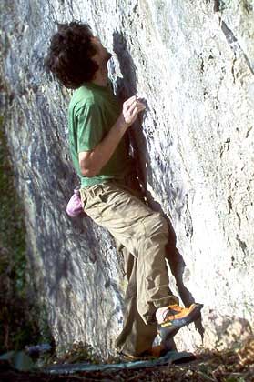
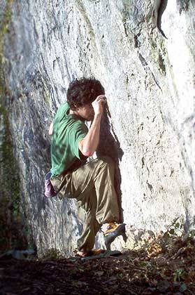
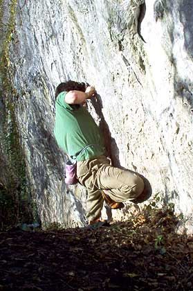
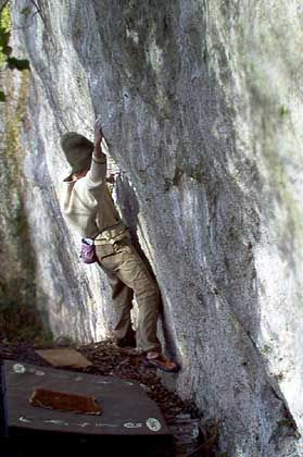
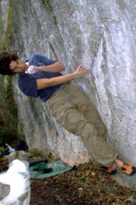
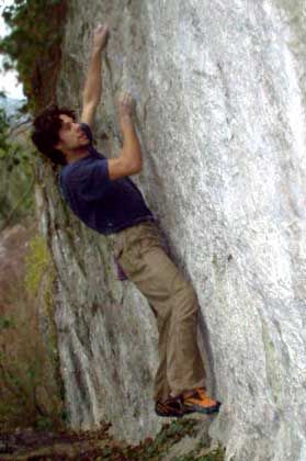
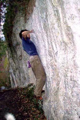
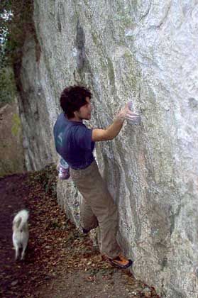
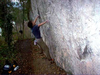
Rochers de Frênes
- Location: Lustin (Profondeville)
- River: Haute Meuse
- Rock type: limestone
- routes:
- Equipement:
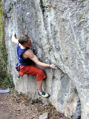
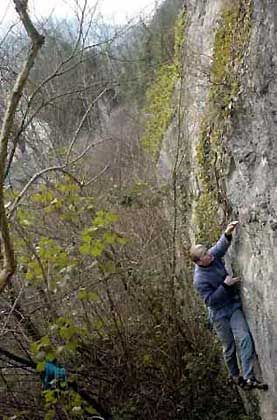
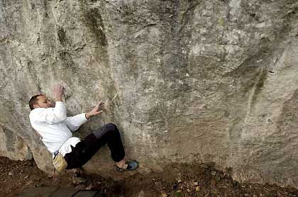
Photos


All routes
Discover every route available on this crag by clicking on the link below.
Sectors
Details
3 routes/pitches/variations
found in the Belclimb database
Sport climbing routes
Boulders
Aid climbing routes
Coordinates
NGI topographical map: 47/7-8Lambert coordinates: X 186.050 Y 118.810
UTM (ED50): 31U 633599E 5582629N
WGS84: 4.87770°E 50.37868°N