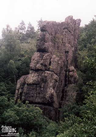
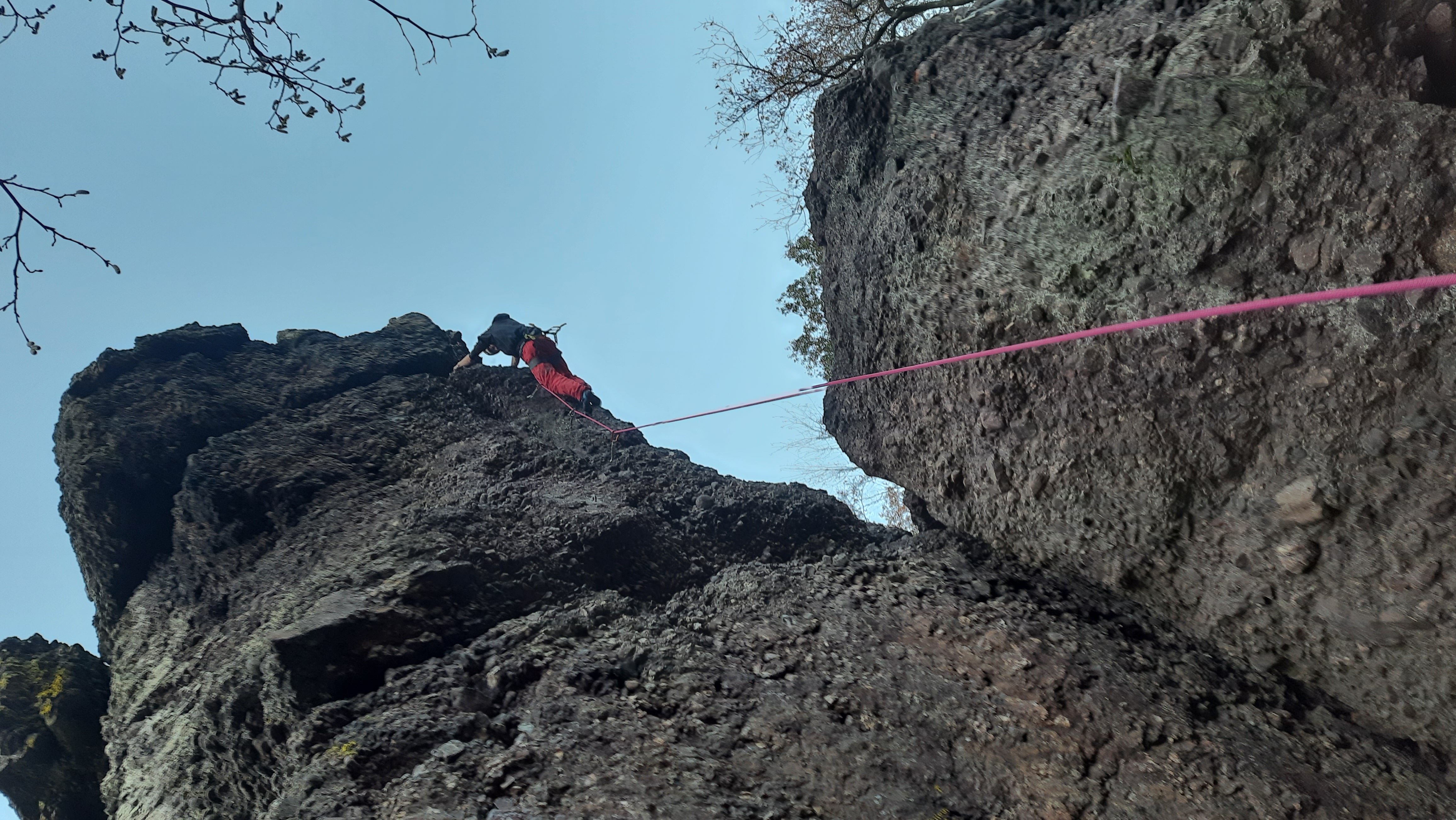
Roche à Frêne
Small crag formed of conglommerate. Sometimes loose rock and always very little equipment. It is advisory to take additional protection along.- Location: Villers-Saint-Gertrude (Durbuy)
- River: L'Aisne
- Rock type: conglomerate
- routes:
- Equipement:
Important!
Most recent repetitions
- 15-08-21 - Tarte à la Crème Story (6b+) - Joris
- 15-08-21 - Problématique Poudingue (6b+) - Joris
- 15-08-21 - Pâte feuilletée (tracé v… (6a+) - Joris
- 15-08-21 - La Fissure véritable (5c+) - Joris
- 31-03-21 - La Fissure véritable (5c+) - JPLaX
Topos, publications, sources
Photos

All routes
Discover every route available on this crag by clicking on the link below.
Sectors
Details
31 routes/pitches/variations
found in the Belclimb database
Sport climbing routes
Boulders
Aid climbing routes
Coordinates
NGI topographical map: 55/1-2Lambert coordinates: X 236.625 Y 116.250
UTM (ED50): 31U E N
WGS84: 5.5872°E 50.3516°N