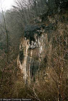
Dalle du Trou Perdu
- Location: Olne (Olne)
- River: La Magne
- Rock type: quarry limestone
- routes:
- Equipement:
All routes
Discover every route available on this crag by clicking on the link below.
Sectors
Details
11 routes/pitches/variations
found in the Belclimb database
Sport climbing routes
Boulders
Aid climbing routes
Coordinates
NGI topographical map: 42/7-8Lambert coordinates: X 244.525 Y 143.350
UTM (ED50): 31U 691496E 5608280N
WGS84: 5.70431°E 50.59312°N