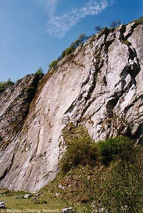
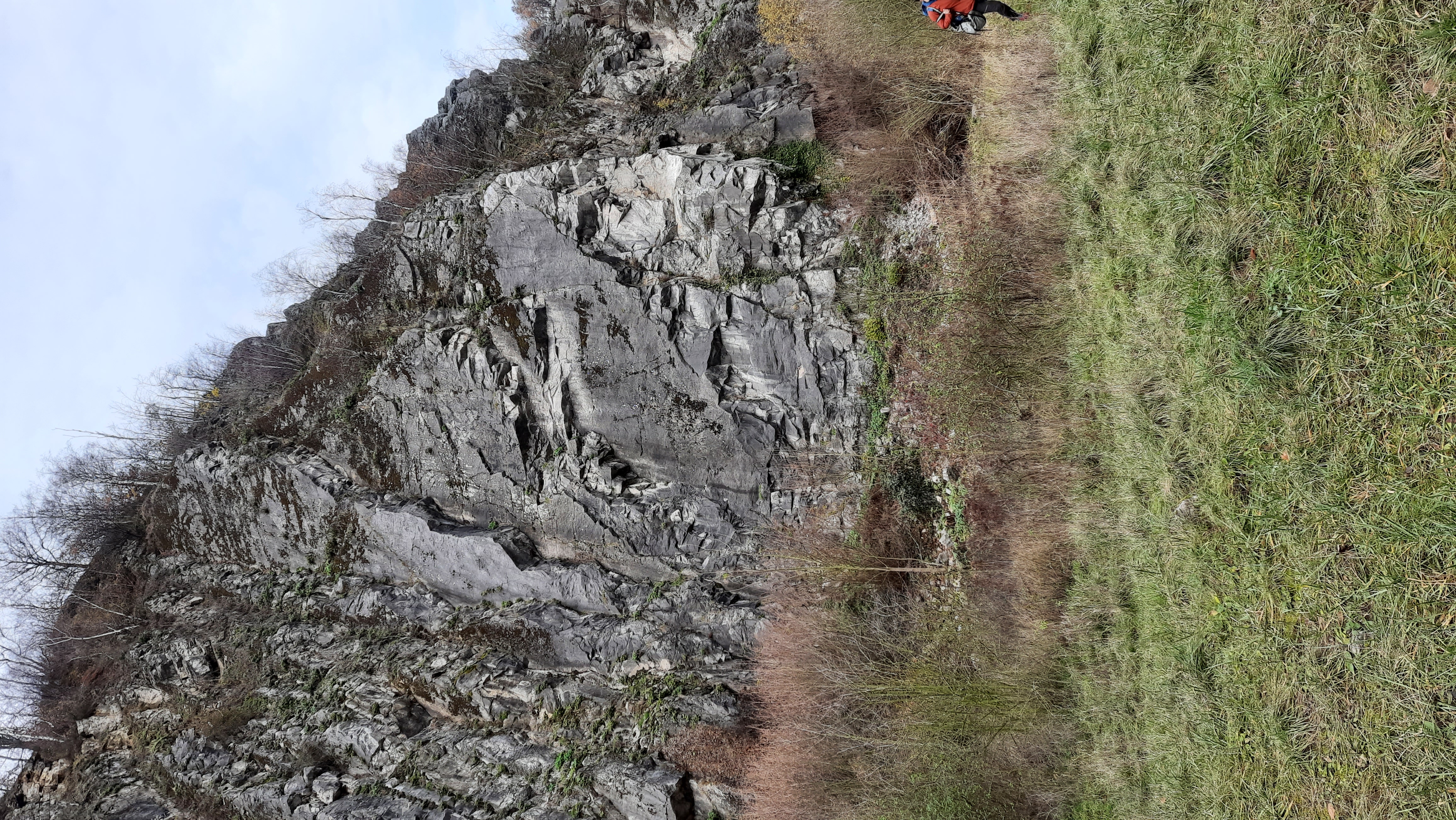
Carrière des Awirs
- Location: Awirs (Flémalle)
- River: Basse Meuse
- Rock type: quarry limestone
- routes:
- Equipement:
Important!
Most recent repetitions
- 01-10-23 - Le sablier (6b) - France
- 06-09-23 - Blocage d'Orage (6a+) - Leopold Bloom
- 20-08-23 - Double vision (7a+) - Thiebout
- 02-07-23 - Toothless (7a+) - Sebastiaan
- 02-07-23 - Toothless (7a+) - Nico M
Topos, publications, sources
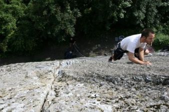
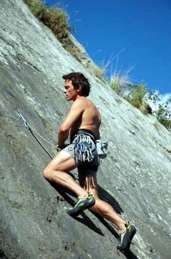
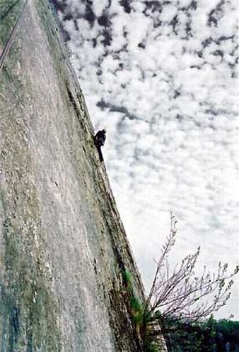
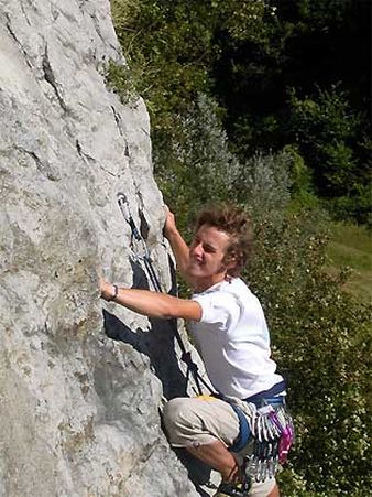
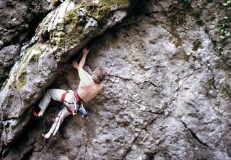
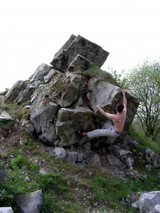
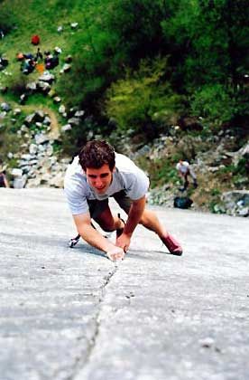
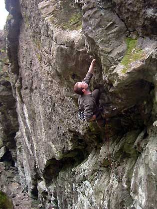
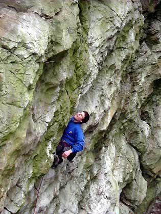
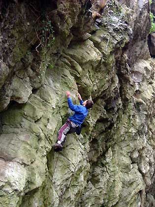
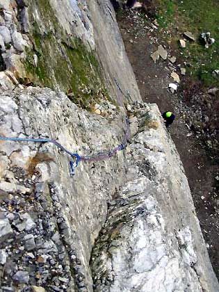
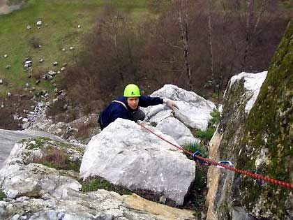
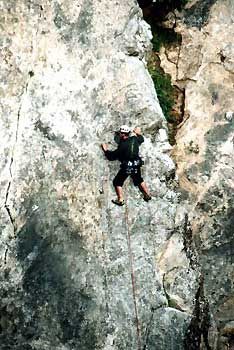
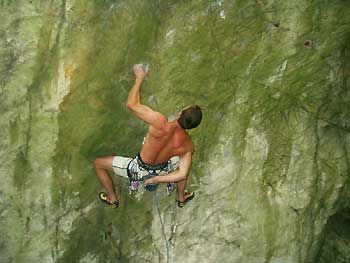
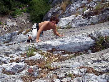
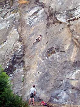
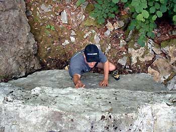
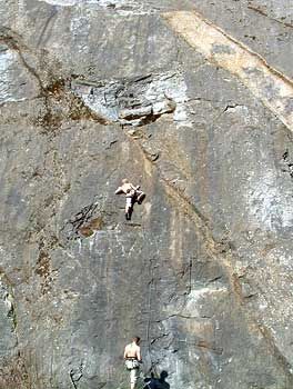
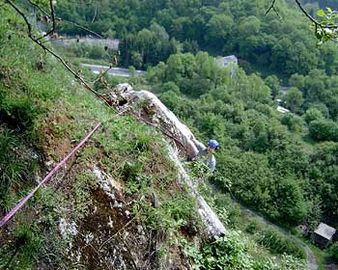
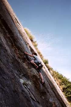
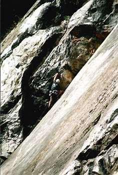
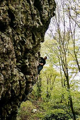
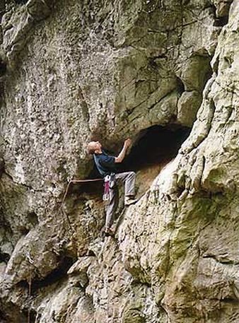
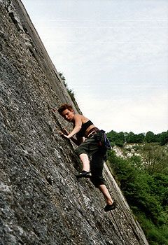
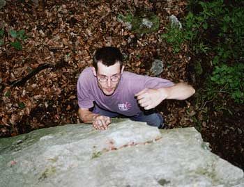
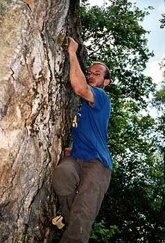
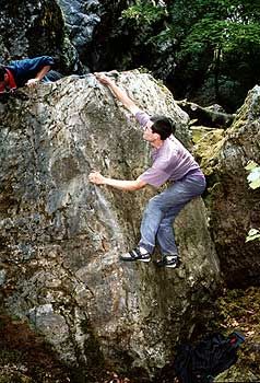
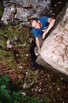
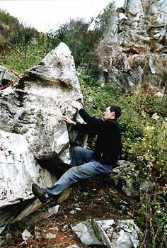
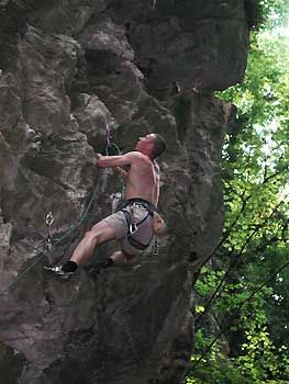
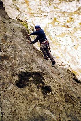
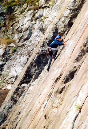
Photos
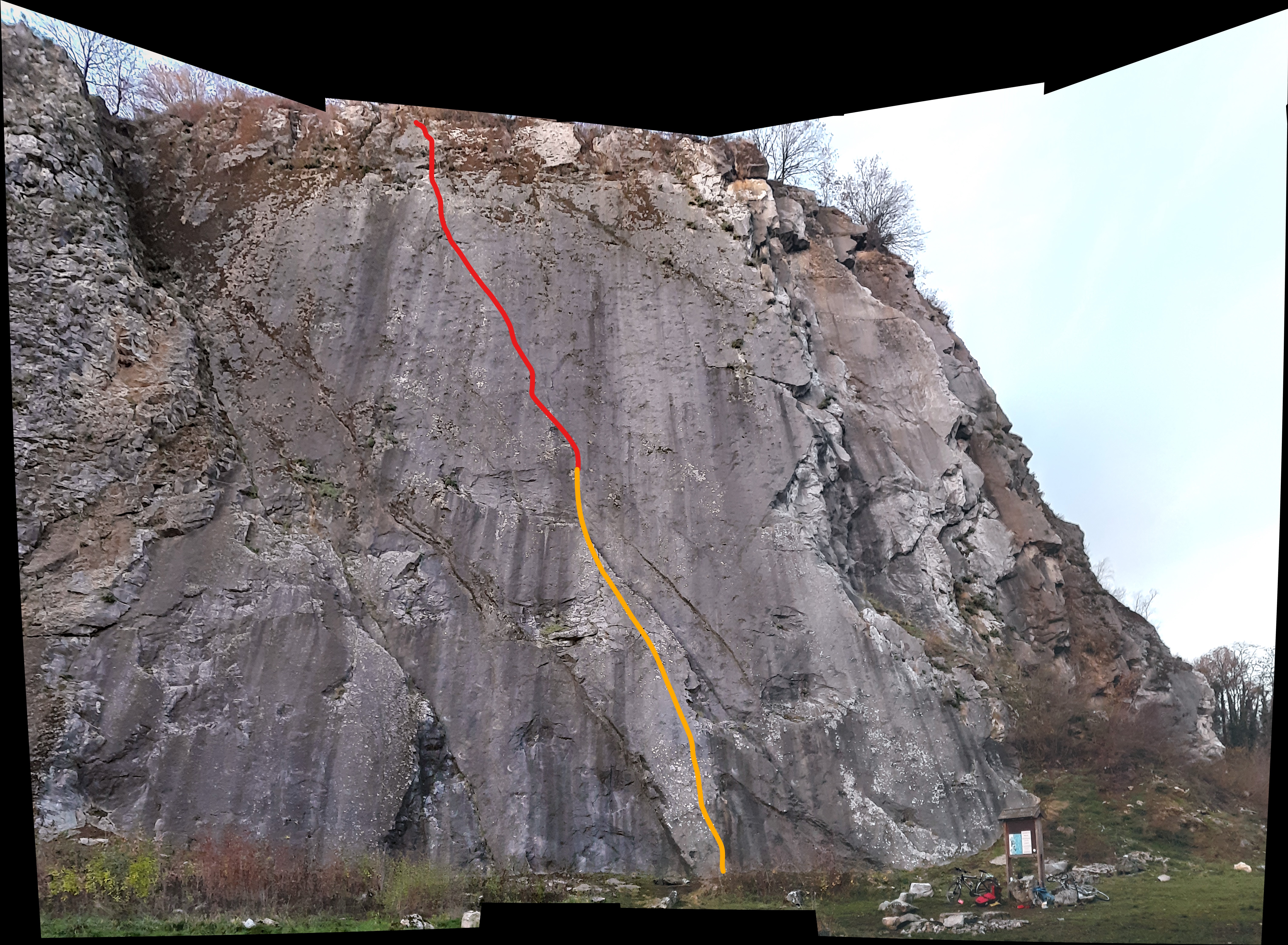


All routes
Discover every route available on this crag by clicking on the link below.
Sectors
- La Tour
- La Dalle du Pied
- Les dièdres
- Face nord
- Dalle supérieure
- Plateau du monolithe
- Les Dalles Superposées
Details
135 routes/pitches/variations
found in the Belclimb database
Sport climbing routes
Boulders
Aid climbing routes
Coordinates
NGI topographical map: 41/7-8Lambert coordinates: X 233.750 Y 142.800
UTM (ED50): 31U E N
WGS84: 5.4099941°E 50.5911928°N