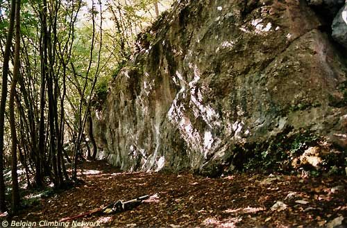
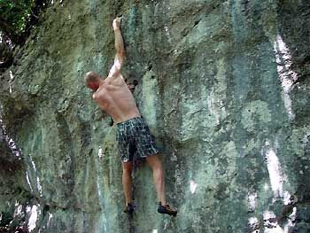
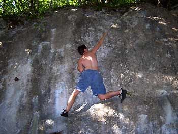
Tabir Sarrail
- Location: Faulx-les-Tombes (Gesves)
- River: Le Samson
- Rock type: limestone
- routes:
- Equipement:
Photos

All routes
Discover every route available on this crag by clicking on the link below.
Sectors
Sport climbing routes
Boulders
Aid climbing routes
Coordinates
NGI topographical map: 48Lambert coordinates: X 195.000 Y 124.540
UTM (ED50): 31U 642294E 5588576N
WGS84: 5.00217°E 50.43009°N