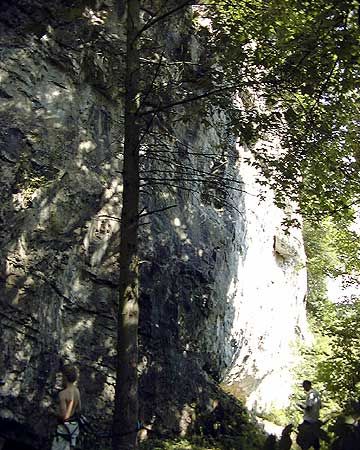
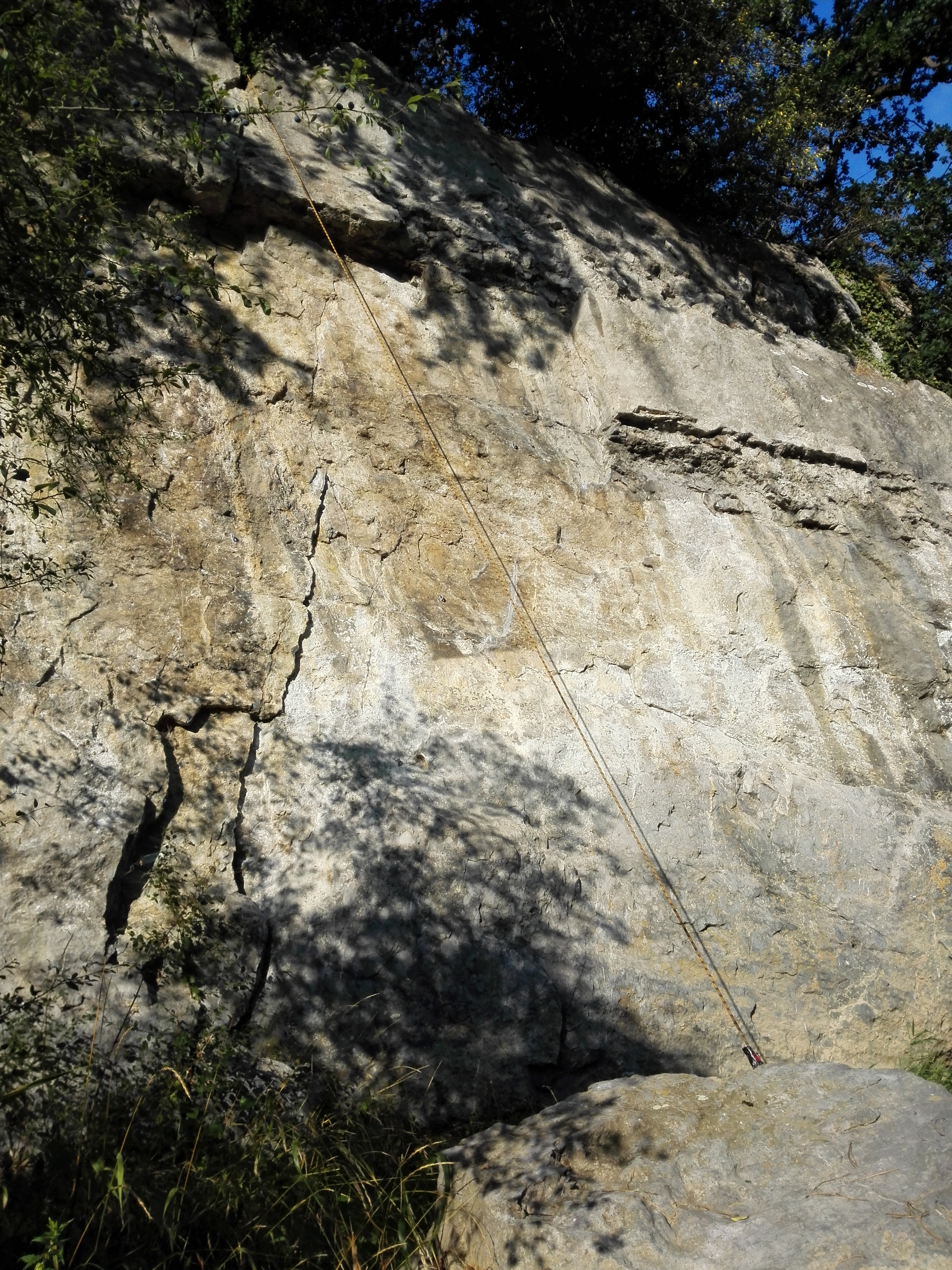
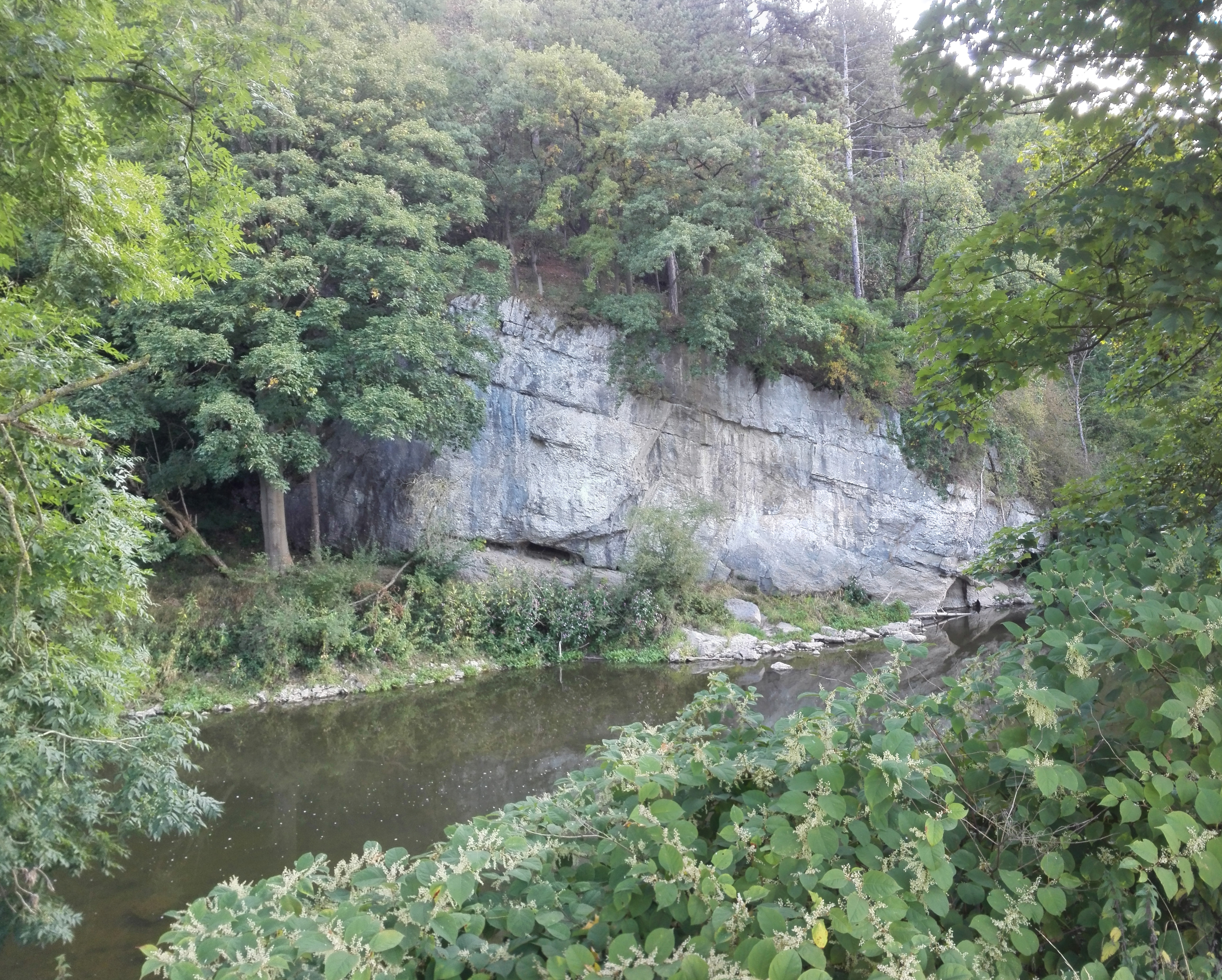
Tabreux
- Location: Hamoir (Hamoir)
- River: L'Ourthe
- Rock type: limestone
- routes:
- Equipement:
Important!
Most recent repetitions
- 10-03-24 - Légitime Dépense (7a+) - bartcockx
- 01-05-23 - Légitime Dépense (7a+) - P-H
- 01-01-22 - Mariposa (6b) - vinniespinnie
- 13-08-21 - Club Merde (6a+) - Joris
- 13-08-21 - Mariposa (6b) - Joris
Topos, publications, sources
How to get there
Photos
All routes
Discover every route available on this crag by clicking on the link below.
Sectors
Details
16 routes/pitches/variations
found in the Belclimb database
Sport climbing routes
Boulders
Aid climbing routes
Coordinates
NGI topographical map: 49/5-6Lambert coordinates: X 232.900 Y 125.700
UTM (ED50): 31U E N
WGS84: °E °N